


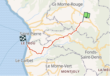

7,2 km | 11 km-effort


Benutzer GUIDE


Kostenlosegpshiking-Anwendung
 SityTrail
IGN / Geografische Institute
SityTrail World
Die Welt öffnet sich für Sie
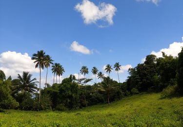
Tour Zu Fuß von 10 km verfügbar auf Martinique, Unbekannt, Le Morne-Rouge. Diese Tour wird von Lamartiniere vorgeschlagen.
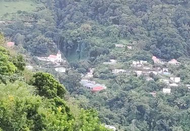
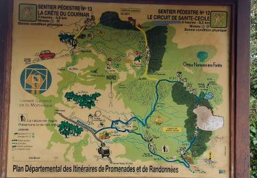
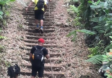
Randonnée d'environ 10 kms. Départ près la Source minérale Champflore direction le musée Gaugin à Anse Turin au Carbet via le Col Yang Ting avec passage près le morne Gaubert.
Wandern

Wandern
Wandern
Wandern
Wandern
Wandern
Wandern

sport
Wandern